Price: $14.95
(as of Jun 12, 2024 11:09:30 UTC – Details)
• Waterproof • Tear-Resistant • Travel Map
There are few nations as vast and spectacularly diverse as the United States of America. From the Atlantic to the Pacific, “America the Beautiful” offers boundless destinations and experiences for travelers seeking outdoor adventures, small town delights, or the excitement of urban culture.
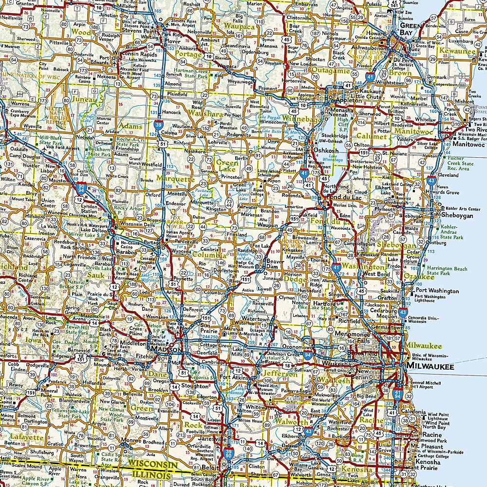
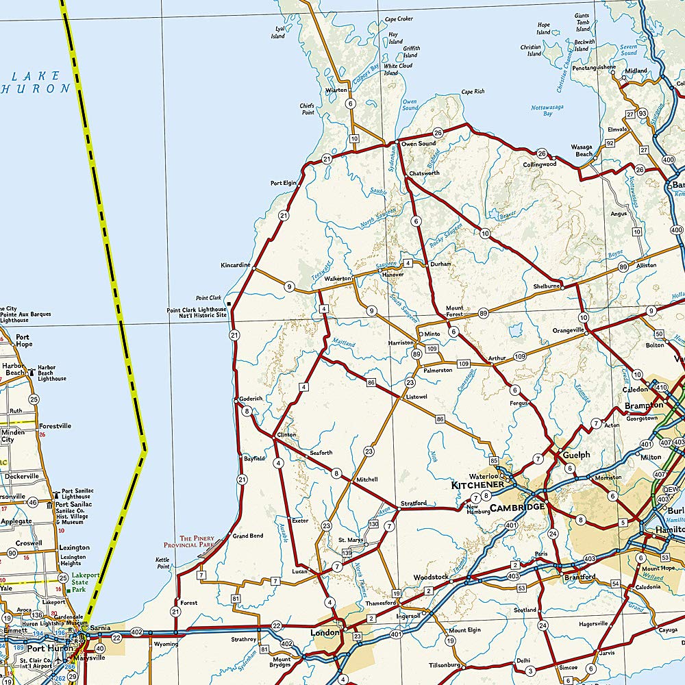
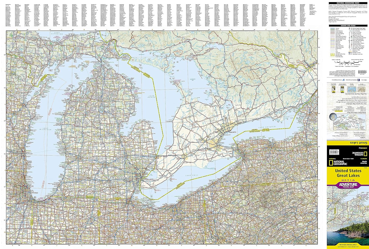
The United States Great Lakes Adventure Map will guide you to the five Great Lakes of Superior, Michigan, Huron, Erie, and Ontario. This region of the country has used the Great Lakes as a pathway for exploration, trade and recreation for hundreds of years and these traditions still thrive as witnessed by the cities and towns that border the Great Lakes. The states of Minnesota, Wisconsin, Illinois, Michigan, Indiana, Ohio, Pennsylvania, and New York all benefit from their contact with the largest freshwater lake system on Earth. The map includes the cities of Duluth, Milwaukee, Chicago, Detroit, Toledo, Cleveland, Erie, and Buffalo on the American side with Toronto, Kingston, and Windsor on the Canadian side, and the breathtaking Niagara Falls in between. There is simply no better map for exploring the states bordering the Great Lakes.
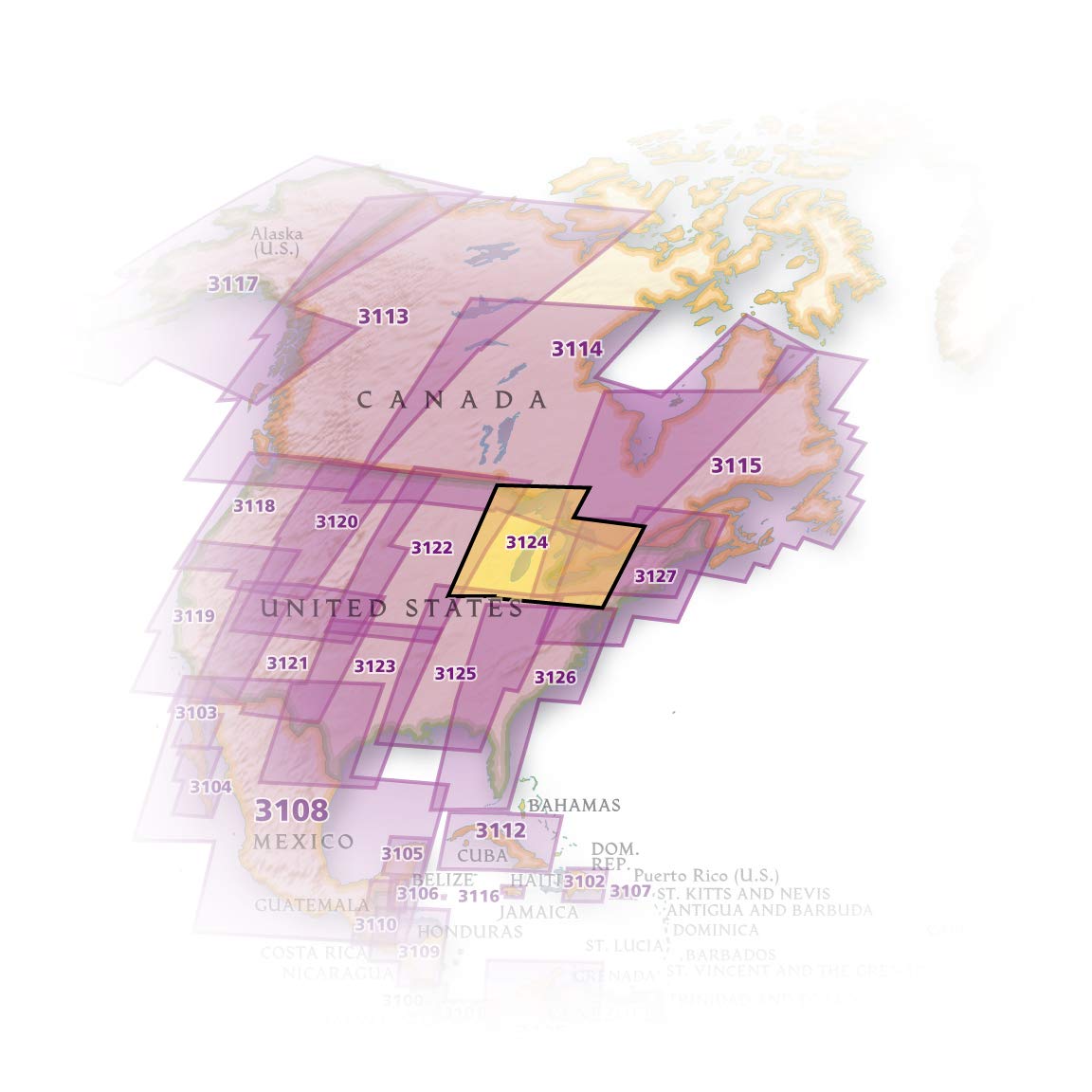
National Geographic’s US Adventure Maps provide the most authoritative and convenient travel maps available to plan and guide your USA Adventure. Each map delivers the perfect combination of detail and perspective, highlighting travel routes, topography, and points of interest for those venturing beyond the city centers. Whether you’re on a classic American road trip or planning a grand tour to visit several cities or national parks, these maps offer the ultimate geographic resource as only National Geographic can provide.
Every Adventure Map is printed on durable synthetic paper, making them waterproof, tear-resistant and tough — capable of withstanding the rigors of international travel.
Map Scale = 1:1,300,000Sheet Size = 25.5″ x 37.75″Folded Size = 4.25″ x 9.25″
From the Publisher


National Geographic’s Adventure Maps — Essential travel tools for destinations across the globe
With over 100 available titles, these detailed travel maps are the perfect companion for the trip of a lifetime. Sometimes an accurate, tough, waterproof map is the best travel tool you can carry. In areas without cell coverage, or when the data plan is running low, a National Geographic Adventure Map will quickly become an essential travel tool. Featuring detailed road networks, key points of interest, UNESCO World Heritage sites, a place name index, and beautifully rendered shaded relief these travel maps are perfect for pre-trip planning and on the ground navigation.
Perfect for Domestic or International Travel Waterproof Tear-Resistant Nearly Indestructible Clean Cartographic Design for Easy Navigation
Add to Cart
Add to Cart
Add to Cart
Add to Cart
Add to Cart
Customer Reviews
4.6 out of 5 stars
1,199
4.7 out of 5 stars
586
4.5 out of 5 stars
165
4.6 out of 5 stars
874
4.6 out of 5 stars
239
Price
$13.32$13.32 $12.60$12.60 $12.60$12.60 $13.46$13.46 $12.60$12.60
Number of International Visitors
1.3 million 3.0 million 32.6 million 2.6 million 3.4 million
Official Language
Icelandic English and Māori Thai Spanish Spanish
Unit of Currency
Icelandic Króna New Zealand Dollar Thai Baht Costa Rican Colón Sol


Your Purchase Has Purpose
Every purchase helps support the National Geographic Society, an impact driven, nonprofit organization with global reach that uses the power of science, exploration, education, and storytelling to illuminate and protect the wonder of our world.
Publisher : Natl Geographic Society Maps; 2022nd edition (July 7, 2022)
Language : English
Map : 2 pages
ISBN-10 : 1566957184
ISBN-13 : 978-1566957182
Item Weight : 3.21 ounces
Dimensions : 4.25 x 0.25 x 9 inches


Reviews
There are no reviews yet.